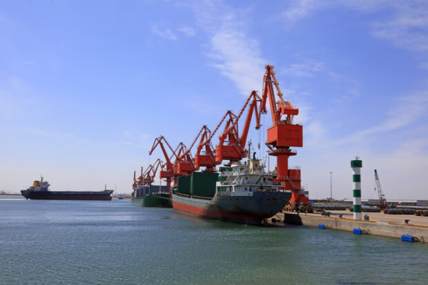
The recent spotlight for coastal planner engagement has been on ports and harbours over the last few months, with the aim of improving our engagement with stakeholders and collecting important data.
The Coastal Planners initially focused on Statutory Harbour Authorities in order to confirm the most up-to-date data for their boundaries and review the information available on Explore Marine Plans to confirm its accuracy. These authorities were also asked for details of dredging activity and the methods used.
The purpose of collecting this information was to ensure that the harbour boundaries, as well as areas protected for dredging for harbour maintenance, are fully considered during the marine licensing process. Licence applicants must consider these areas when submitting applications, ensuring that the interests and activities of ports and harbours are protected.
In addition to the data collection, Coastal Planners worked with MMO Marine Officers to seek opportunities to meet with non-statutory harbour authorities in person to strengthen relationships.
This engagement has been effective in gathering important information and improving relationships with stakeholders in the ports and harbour industry.