My name is Dan Ward, and I’m a Compliance & Enforcement Manager on the Marine Management Organisation (MMO) Blue Belt team.
How we detect Illegal, Unreported and Unregulated Fishing
Our key priority is to maximise the chances of detecting Illegal, Unreported and Unregulated (IUU) fishing, whilst at the same time using our limited resources effectively. We are responsible for helping to monitor the zones around United Kingdom Overseas Territories (UKOTs). This covers a huge area: around 4 million km². We therefore need to make sure that when as we deploy our monitoring and enforcement assets, we have carefully considered two things: the quality of the intelligence and the scale of the risk of illegal fishing. We can then ensure that we have the right people or assets in the right place at the right time.
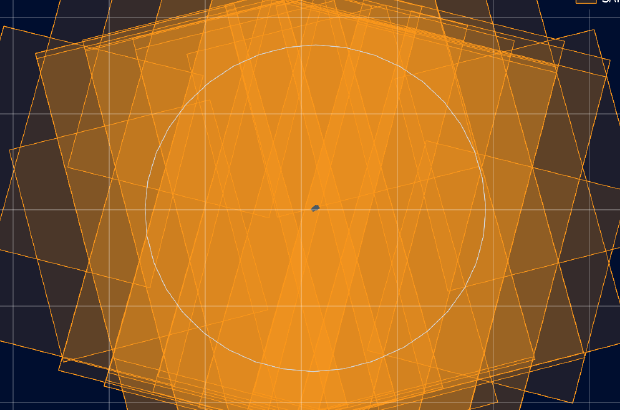
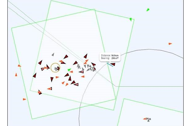
Satellite imagery is one of the many tools we use to track vessels across the UKOT waters
We monitor a number of different activities and use different techniques in combination, to identify illegal fishing. For example, this might include a sighting of fishing gear inside the protected zone or the detection of a suspected fishing vessel from satellite imagery. We also act on reports of direct sightings from other vessels, such as cruise ships or the legal fishing community.
Building a complete picture from a variety of sources
Although individual pieces of intelligence are valuable in their own right, the true value lies in the bigger picture that is generated when all these individual pieces are put together. So, when we get some intelligence in, we try to develop to it, for example, by:
- Cross-referencing it with other sources of information (eg: does the sighting correspond with the satellite intelligence?)
- Checking the ownership of the vessel if possible and finding out what other vessels they operate.
- Working with our partners and other government enforcement agencies
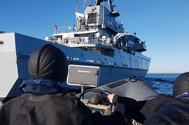
Depending on the quality of the intelligence, a fisheries officer may be deployed where the vessel docks, or we may continue to track the vessel using satellites. We might even be able to request a passing Royal Navy warship to investigate further.
We need your local intelligence!
The more information we get in, the more links we can form and the better the intelligence packages we can produce– and this is where we need your help! Fishermen and members of the public really are the eyes and ears on the ground, and so any intelligence we can get from you is incredibly valuable: it really does make a difference. If you see something (anything!) suspicious, please report it to:
OTIntel@marinemanagement.org.uk
All intelligence that is submitted is done so in the strictest of confidence. The source of the intelligence will always be removed and the report is sanitised to ensure that the source can never be identified.
Surveillance around St Helena
So, what have we done in St Helena? Towards the end of last year and at the beginning of this year, we ran an intensive two month satellite surveillance operation over St Helena. Reassuringly, compliance was found to be excellent, with no significant suspicious instances picked up during the entire period. However, there is no chance of us becoming complacent – we are always monitoring Automatic Identification Systems and various other systems. Working with the European Maritime Safety Agency (EMSA) able to gather high quality satellite imagery at short notice. We also work with Catapult who provide additional satellite support.
Recent Comments